
About All Tours Wine ToursWinery from Gold Coast ToursFrom Gold Coast ToursFrom Brisbane ToursGlow Worm Caves ToursRainforest Skywalk Tours Directions Hours & Fees Guides
Find Tours 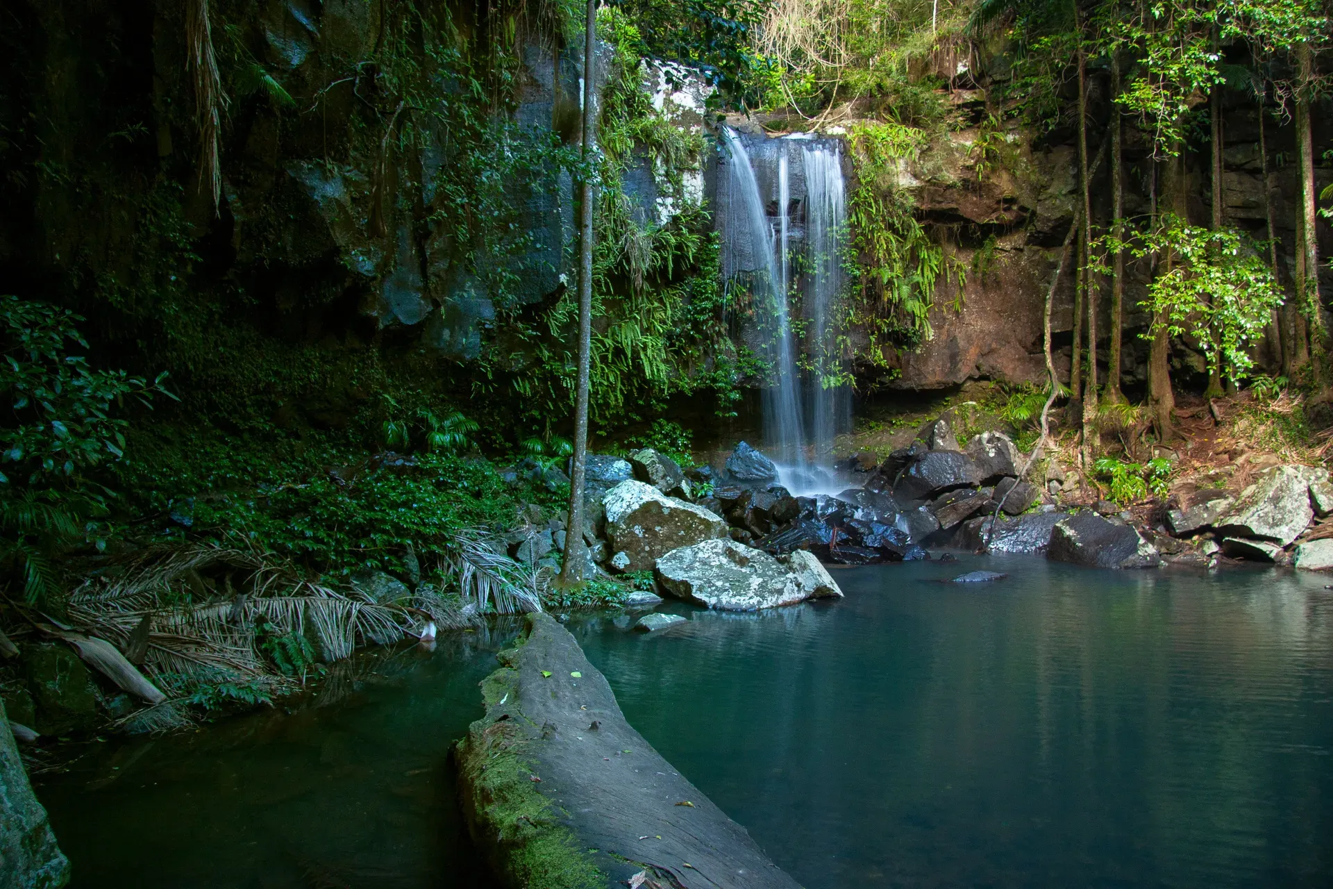
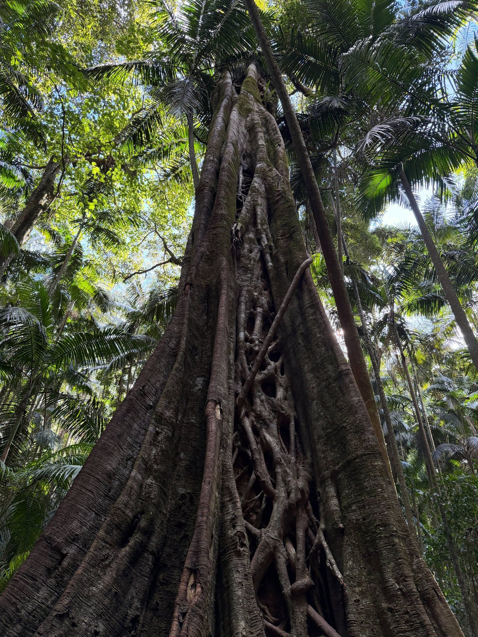
Mount Tamborine is a 525-meter volcanic plateau and national park 80 kilometers south of Brisbane. The area protects 14 separate reserves of subtropical rainforest, basalt cliffs, and waterfalls.
Mount Tamborine is a 525-meter basalt plateau 80 kilometers south of Brisbane. The name refers to both the mountain itself and the surrounding locality in the Scenic Rim hinterland. It holds 14 separate reserves that make up Tamborine National Park. The mountain combines protected subtropical rainforest with three merged villages—North Tamborine, Eagle Heights, and Mount Tamborine. Visitors come for the walking tracks and the cooler climate. It's a reliable escape from the coastal heat. The elevation drops the temperature by several degrees compared to the nearby Gold Coast.
That elevation also catches the weather. The plateau receives 1,500 millimeters of rain a year. Most of that falls between December and April, swelling Cedar Creek and Curtis Falls. The water carves through 23-million-year-old volcanic rock, leaving exposed basalt columns and deep gorges. You'll walk past piccabeen palm groves and massive strangler figs. The winter months from June to August offer the best conditions. Daytime highs average 17°C with clear skies, though night temperatures frequently drop below 10°C.
So how do you get up there? The layout requires a car or a booked tour. There's no direct public bus onto the mountain. The drive from the Gold Coast takes 50 minutes via the Pacific Highway and Oxenford-Tamborine Road. From Canungra, you take Tamborine Mountain Road for 8 kilometers. The access roads from Nerang and Canungra are steep and explicitly closed to buses, trailers, caravans, and trucks. Drivers should take the Beenleigh or Oxenford routes instead. Once on the plateau, the attractions sit close together. A half-day visit covers a short walk at Curtis Falls and a stop in one of the villages. A full day allows time for multiple national park sections, the Botanic Gardens, and the wineries.
You must plan for the lack of basic facilities on the trails. There are no rubbish bins anywhere in Tamborine National Park. You have to carry out every piece of food packaging and recycling you bring in. The park provides no drinking water, and the creek water is unsafe to drink due to bacterial runoff after heavy rain. Pack your own supplies before leaving the village centers. Book a hop-on hop-off tour from the Gold Coast if you don't want to drive the mountain roads.
Mount Tamborine formed 23 million years ago from the lava flows of the Tweed Volcano. The main crater was centered to the south at Wollumbin. The plateau is the most northerly remnant of those massive eruptions. Millions of years of water erosion stripped away the softer rock. That process left behind an 8-kilometer-long and 5-kilometer-wide basalt ridge. The sheer escarpments and rocky outcrops visible today are the exposed core of those ancient lava flows.
The mountain was traditionally the territory of the Wangerriburra people. The name Tamborine comes from the Yugambeh Aboriginal language word for the wild finger lime trees that grew abundantly across the plateau. The Wangerriburra navigated the dense rainforest and utilized the deep, fertile volcanic soils. Finger limes still grow in the understory today. They maintain a direct botanical link to the mountain's pre-colonial landscape.
European timber cutters and farmers arrived in the late 19th century. A formal village settlement took shape in 1888 as settlers cleared large tracts of land for agriculture. The Mount Tamborine Post Office opened as a receiving office in 1881 (it upgraded to a full post office in 1924) to serve the growing population. The early settlers logged the accessible timber. The steep slopes and deep gorges made extraction impossible in certain areas. Those inaccessible pockets preserved the old-growth subtropical rainforest.
The local government recognized the escarpment's ecological value early. The State Forests and National Parks Act 1906 provided the legal framework to protect the land from further logging. In 1908, the Witches Falls section became Queensland's first declared national park. The protected area expanded over the next century. The state acquired surrounding parcels of land, eventually forming 14 separate reserves covering 11.60 square kilometers. In 1997, the separate suburbs of Mount Tamborine, North Tamborine, and Eagle Heights merged into a single official locality called Tamborine Mountain.
Today, the mountain balances residential villages with strict conservation zones. The Queensland Parks and Wildlife Service enforces rigid rules under the Nature Conservation Act 1992. The Cedar Creek section locks its gates every night to protect the habitat and prevent illegal camping. Police issue infringement notices for parking on the narrow access roads along Cedar Creek Falls Road. Arrive at the trailheads before 9:00 am on weekends to secure a legal parking spot.
Tamborine Mountain is an 8-kilometer-long, 5-kilometer-wide plateau rising 525 meters above sea level. The foundation is solid basalt. Ancient lava flows cooled and fractured into the hexagonal columns visible today at Curtis Falls and Cedar Creek. Water erosion cut deep gorges into the rock over millions of years. The resulting escarpment drops sharply to the coastal plains below. The soils here are deep and fertile, supporting dense subtropical rainforest on the plateau and wet eucalypt forest on the slopes.
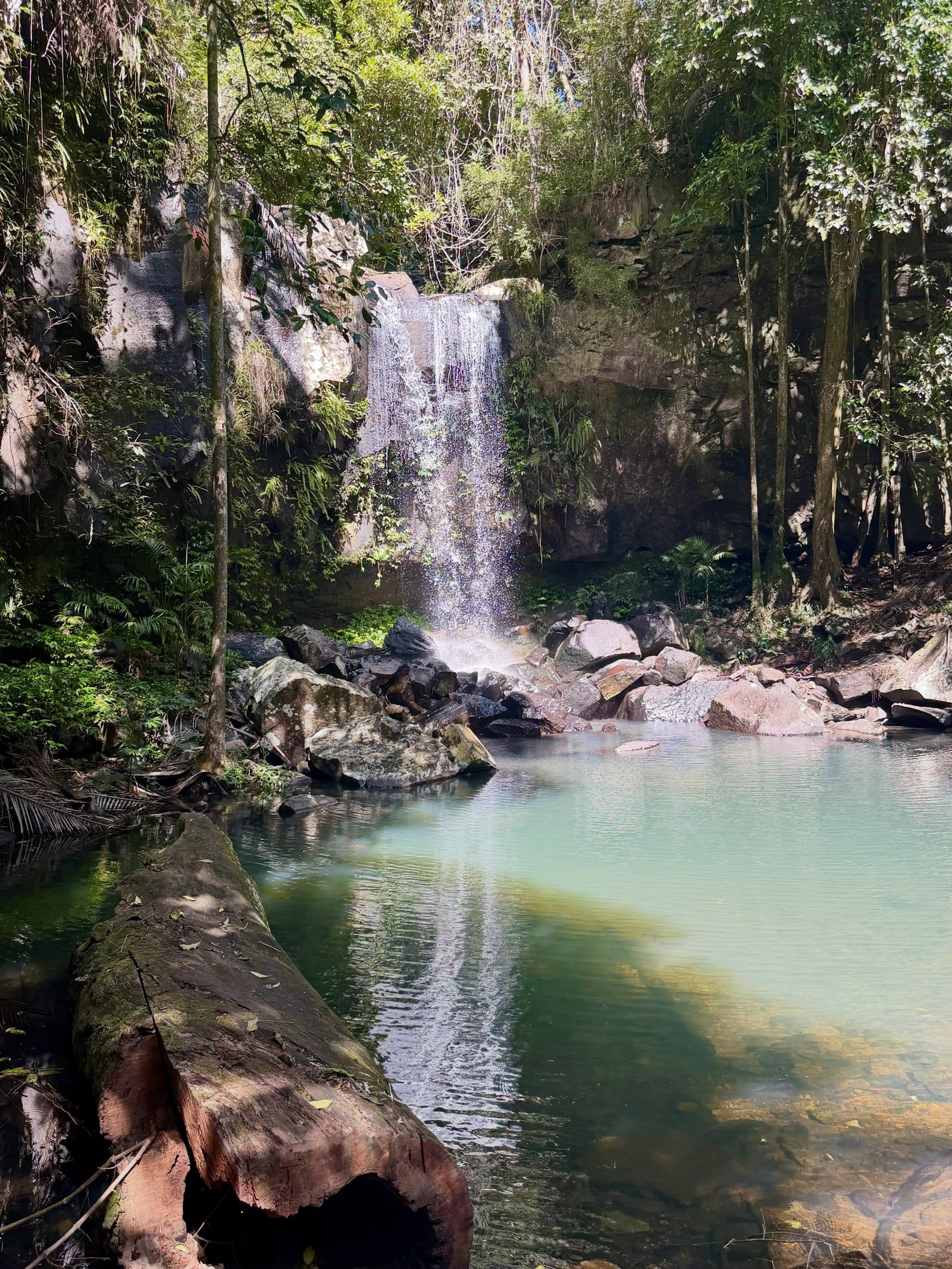
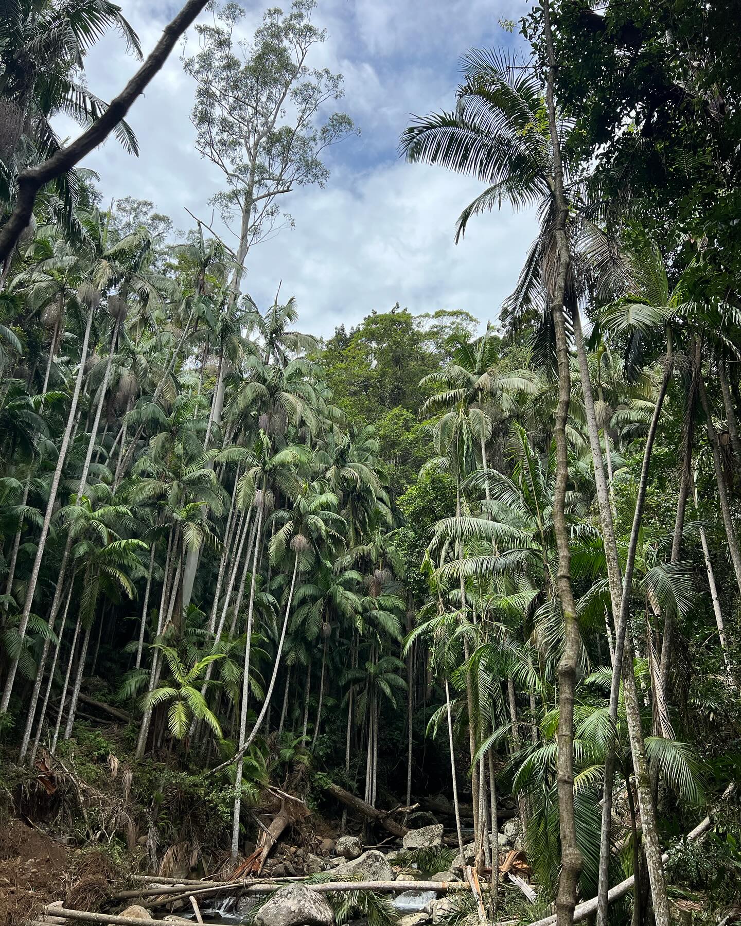
The vegetation changes rapidly depending on the aspect and drainage. The 1.4-kilometer Palm Grove Circuit (a relatively flat, easy walk) cuts through thick stands of piccabeen palms. The Witches Falls section holds seasonal lagoons and cycad groves. The Knoll features tall flooded gums and open woodland. The 3-kilometer Cameron Falls Circuit winds through this open forest, offering clear views of the escarpment and the chance to spot black skinks sunbathing on the exposed rocks. The Curtis Falls Walk in the Joalah section is a 1.5-kilometer return track descending through rainforest to a rock pool at the base of the falls. You get fine views of the exposed basalt rock face left by the ancient lava flows.
The creeks run fast over the basalt after heavy summer rain. Cedar Creek cascades down a series of rock shelves into deep, cold pools. The water levels rise and fall quickly. Swimming in these rock pools carries real drowning risk from slippery rocks and submerged objects. The Queensland Parks and Wildlife Service reports serious injuries and deaths have occurred here. Entry beyond the viewing platform at Curtis Falls and into the Cedar Creek Restricted Access Area is permanently prohibited. Don't try to cross flooded tracks.
The terrain dictates the infrastructure. The Tamborine Rainforest Skywalk uses elevated steel walkways and suspension bridges to navigate the canopy at Eagle Heights. A 45-minute self-guided walk takes visitors across a 300-meter accessible entry bridge before moving onto more adventurous sections overlooking the gorge. The national park walking tracks rely on the natural contours. The 3-kilometer Witches Falls Circuit drops down a steep, uneven slope before looping back up. The paths get slippery. Wear closed, ankle-supporting shoes and skip the longer descents if it rained the night before.
The mountain escarpment shelters a massive concentration of regional wildlife. About 85 percent of all animal species and 65 percent of all plant species found in the Gold Coast area live on Tamborine Mountain. This includes the near-threatened Albert's lyrebird. The bird calls loudly through the winter months. Birdwatchers also look for satin bowerbirds and eastern whipbirds in the dense undergrowth. The land mullet—one of the world's largest skinks—frequently scratches through the leaf litter alongside Australian brush-turkeys. The thick canopy provides a secure refuge for these species above the heavily developed coastal strip.
The area also supports a large population of native Queensland glow-worms. While they naturally inhabit the damp overhangs of the national park, the Cedar Creek Estate built a dedicated cave habitat to protect them. Visitors walk through this controlled environment under red torchlight to see thousands of the bioluminescent larvae. It offers a rare daytime view of an insect normally only visible in wild caves at night. The 30-minute guided tour funds ongoing conservation efforts for the local frog and insect populations.
The modern community protects the remaining habitat aggressively. The rules are strict and actively enforced. Domestic pets are banned from all sections of Tamborine National Park. The sole exception is horses on designated forest trails. Open fires are completely prohibited. Visitors must use the provided gas barbecues at Cedar Creek and The Knoll. Personal photography is free, but any drone use or commercial filming requires a Commercial Activity Permit from the state government.
The villages of North Tamborine and Eagle Heights serve as the cultural centers for the human residents. The Tamborine Mountain Botanic Gardens offer free-entry themed walks set beside the national park's MacDonald Park rainforest circuit. Thunderbird Park provides an adventure-park counterpoint to the quiet trails, running daily accessible bird-feeding sessions at 2:00 pm. Combine a morning national park walk with an afternoon at the Botanic Gardens to see both the wild and cultivated sides of the plateau.
The mountain is the northernmost remnant of lava flows from a 23-million-year-old volcano.
Witches Falls was declared Queensland's first national park in 1908.
"Tamborine" comes from the Yugambeh Aboriginal word for the wild finger limes found in the area.
The national park is home to the land mullet, one of the largest skink species in the world.
A purpose-built cave at Cedar Creek Estate lets visitors see bioluminescent glow-worms during the day.
The plateau receives 1,500 millimeters of rain annually, mostly between December and April.
Tamborine National Park operates a strict carry-in, carry-out policy with zero public bins on the trails.
No. Tamborine National Park is free to enter and requires no permits for recreational visits. Private attractions like the Rainforest Skywalk and the Glow Worm Caves charge separate admission fees.
Most sections, including Witches Falls and Joalah, are open 24 hours a day. The Cedar Creek section is gated and locked at night, opening from 6:00 am to 8:00 pm in summer and 6:00 am to 6:00 pm in winter.
There is no direct public bus to the mountain. You can take the TransLink 740 bus to Nerang and catch a taxi, or book a hop-on hop-off day tour from Brisbane or the Gold Coast.
The mountain is about 80 kilometers south of Brisbane. The drive takes roughly 1 hour and 15 minutes via Beenleigh and Tamborine Village.
No. Swimming in the rock pools is dangerous due to slippery rocks, submerged objects, and fast-changing water currents. Entry beyond the viewing platform at Curtis Falls is permanently prohibited.
Partially. The Cedar Creek walking track to the lookout is suitable for assisted wheelchairs. The first 300 meters of the Tamborine Rainforest Skywalk are also accessible.
The Witches Falls section of Tamborine National Park is the oldest. The state government declared it a protected area in 1908.
Domestic pets are banned from all sections of Tamborine National Park. The only exception is horses on specifically designated forest trails.
Winter is the best time to visit. June through August brings mild, dry days around 17°C, avoiding the heavy rain and slippery tracks of the summer wet season.
The plateau holds 85 percent of the Gold Coast's animal species. You will likely see Australian brush-turkeys, pademelons, and rainbow lorikeets, alongside rarer species like the Albert's lyrebird.
Browse verified tours with free cancellation and instant confirmation.
Find Tours